Papio Creek Omaha Guide: History, Trails, Lakes, And Hidden Spots
Papio Creek offers more than water. Discover its role in flood safety, recreation, and hidden gems like rope swings and quiet creek trails.
Jul 10, 2025215 Shares11.3K Views
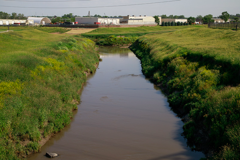
Papio Creek is a 15.5-mile waterway in eastern Nebraska. It flows through Douglas, Sarpy, and Washington counties, including parts of Omaha. The creek is formed by the Little Papillion Creek, Big Papillion Creek, and West Branch Papillion Creek, and empties into the Missouri River near Bellevue. Locals often call it "Papio Creek" for short .
Watershed and Flood Control
The Papillion Creek watershed covers about 402 square miles and is one of Nebraska’s most flood-prone areas. In the 1960s, severe floods devastated parts of Omaha and surrounding regions. Since then, the Papio-Missouri River Natural Resources District has built dams, levees, and reservoirs, like those at Zorinsky Lake, Standing Bear Lake, Chalco Hills, and Flanagan Lake, to reduce the risk of flood damage.
Recreation and Trails
Papio Creek is the backbone of Omaha’s extensive trail system. The West Papio Trail runs 23.5 miles alongside the creek. It is paved and links parks, neighborhoods, lakes, and schools. It is open to walking, cycling, skating, and cross-country skiing. It is part of the broader “Paths of Discovery” network, which gives residents easy access to green spaces.
Nature and Parks
The creek passes through several parks and natural areas, including Zorinsky Lake Park, Chalco Hills Recreation Area (with Wehrspann Lake), Glenn Cunningham Lake, and Prairie Queen Reservoir. These parks offer public access, fishing, boating, walking trails, and wildlife habitats.
Key Points
- Papio Creek is a major creek system in Omaha’s metro area.
- Flood control efforts since the 1960s greatly reduced damage risk.
- The West Papio Trail offers a long, paved route for outdoor activities.
- Several parks along the creek provide nature access and recreation.
Jump to
Latest Articles
Popular Articles